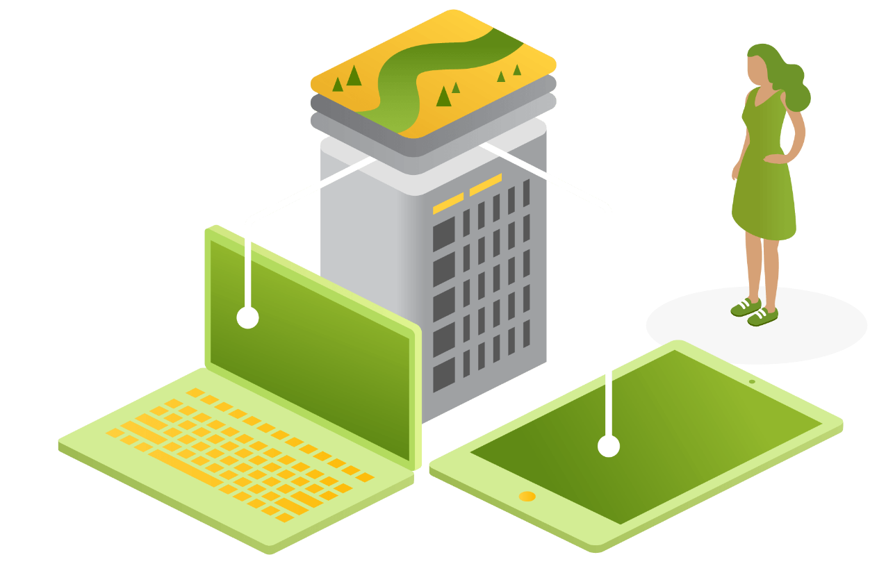
Work with the experts
Engaging Onneer is engaging ArcGIS experts. As an award-winning Esri Partner, we understand the ArcGIS system and how to build holistic, business-led GIS capability.
Whether you are creating a fledgling spatial capability or want to take your existing technology to the next level, we have the tools to support your evolution.


Administration, Maintenance and Support
Stay ahead of the curve with Onneer’s Administration, Maintenance and Support services. Our experts handle the hard stuff, lower your risk, and do it all for you.
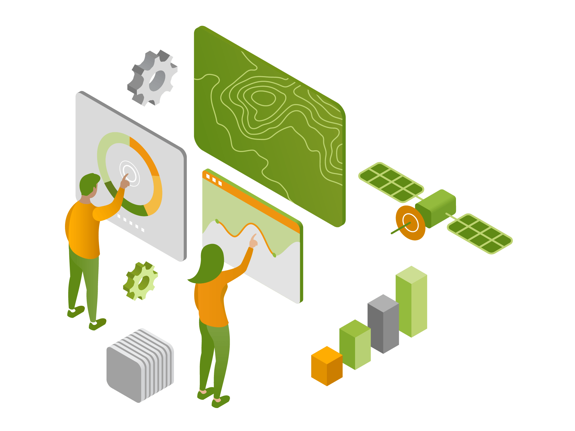
What is GIS administration, maintenance, and support?
Proper system administration is difficult for even the most sophisticated spatial professionals. Keeping your GIS systems current ensures that you benefit from the latest features, security enhancements, and performance improvements, which reduces downtime and increases productivity. As spatial systems become more integrated into daily systems, ensuring this is done correctly is paramount.
How can we help?
This service includes the ongoing administration, maintenance, and support of your GIS infrastructure, ensuring systems run smoothly and efficiently. It gives your team access to dedicated professionals who can look after your system and everything it needs to continue to deliver on organisational requirements.
Application Configuration and Development
Transform your GIS experience with unique spatial applications. Together we can build something amazing!
What is application configuration and development?
Application configuration and development involves customising and developing GIS applications tailored to your specific needs, leveraging the ArcGIS system. It includes configuring existing applications and solutions through to creating new applications to enhance your GIS capabilities.
How can we help?
Onneer specialises in configuring out-of-the-box applications in line with ArcGIS best practices. Our team understands the data models, schemas, and idiosyncrasies involved in deploying ArcGIS applications and can help your team create meaningful and sustainable solutions built on your data. Tailored GIS applications streamline workflows, improve data accuracy, and provide powerful tools for analysis and visualisation, ultimately driving better business outcomes.
We will ensure your tools are fit for purpose, sustainable, and scalable within your ArcGIS environment.

System Migration
Moving environments is complicated. Lean on our experience and expert team to help make the process smoother. Whether it's from on-premise to on-premise or into the cloud, we have you covered.
What is system migration?
GIS system migration involves transferring data, applications, and workflows from one platform to another. This process ensures that all spatial data and related functionalities are accurately and efficiently moved without data loss or corruption, such as a move from on-premise architecture to cloud-based infrastructure.
How can we help?
Doing GIS system migration correctly is crucial to maintaining data integrity, ensuring compatibility with new systems, and avoiding disruptions in operations. Proper migration helps leverage new features and capabilities of the updated GIS platform, ultimately enhancing decision-making and operational efficiency. Understanding the many “gotchas” and idiosyncrasies involved in managing complex system migrations ensures your environment and data integrity is maintained and transferred as seamlessly as possible.

Custom GIS Training
Elevate your team's skills with Onneer's GIS Training services. Learn from the experts and achieve more!
What are Onneer's Learning Services?
Onneer offers specialised workflow training tailored to your organisation’s needs based on adult learning theory. Our team works with you to define the learning outcomes, materials, and content to ensure every training delivery will directly impact a participant’s ability to succeed post-course. This includes hands-on workshops, online courses, and facilitated training sessions.
How can we help?
With Onneer’s custom GIS training, you own the IP. This provides relevant and applicable content tailored to your organisation’s needs, level, and specific systems alongside a comprehensive suite of training materials and guides. Investing in GIS training means your team will have the skills and knowledge to effectively use GIS tools, leading to better project outcomes and increased efficiency. Our approach ensures your organisation can provide meaningful, theory-backed training to your team now and into the future, with the resources available to update and adapt as your organisation’s needs evolve.

Staff Augmentation
Boost your team's capabilities alongside Onneer professionals. Get the expertise you need, when you need it!
What is staff augmentation?
Staff augmentation provides skilled GIS professionals to support an organisation’s projects as it’s needed. This can include temporary or long-term placements to fill gaps in a team. By leveraging our team of leading spatial professionals, you get the necessary support to plug any gap, deliver a specific skillset, or help build capability within your team.
How can we help?
Access to experienced GIS professionals ensures that projects are completed efficiently and effectively, without the need for long-term hiring commitments. Effective Staff Augmentation provides the right expertise at the right time to ensure the most value for money.

Capability review
Discover your GIS potential with Onneer's Capability Review. Let's take your GIS to the next level. Together.
What is a capability review?
A capability review assesses your current GIS capabilities, identifying strengths, weaknesses, and opportunities for improvement. This comprehensive evaluation helps you understand where your GIS stands and how to progress it. Leveraging our comprehensive GIS capability model, we help you identify your organisation’s business and technology needs. We balance each need with an implementation strategy to effectively meet them at the right time with the right technology.
How can we help?
Understanding your GIS capabilities allows you to make informed decisions about investments, training, and development, ensuring that your GIS strategy aligns with your business goals. Leveraging Onneer’s expert team ensures you’re getting the right advice for your GIS; minimising overspend and technical debt with a tailored review specific to your system and needs.

GIS Strategy
Unlock the full potential of your spatial data with a tailored GIS strategy from Onneer’s expert advisory services.
What is a GIS strategy?
A GIS strategy is a comprehensive plan that leverages geographic information systems to meet an organisation's goals. The process includes assessing current capabilities, identifying opportunities for improvement, and developing a roadmap for implementation. Following the foundations of a solid GIS strategy, the Onneer team will work to understand your system, plan its roadmap, and work with you to take meaningful action.
How can we help?
A well-defined GIS strategy ensures that an organisation maximises the value of its spatial data, leading to better decision making, increased efficiency, and a competitive edge. Leverage our experience, expertise, and understanding of complex enterprise GIS deployments so your organisation makes the most of the investment now and into the future.

Executive Advisory
Empower your leadership with Onneer's Executive Advisory services. Partner with us for strategic success!
What is executive advisory?
Executive advisory services provide strategic guidance to senior leaders on leveraging GIS for business success. This includes high-level consultations, strategic planning, and executive training. Working with our team means you’ll have the tools you need to make the most of your organisation’s significant investment and lead the charge in spatial capability.
How can we help?
Strategic guidance from GIS experts helps senior leaders make informed decisions, align GIS initiatives with business objectives, and drive organisational success. Our team will ensure you are current with industry best practices, across technology trends relevant to your organisation and we'll keep you on track to provide the most value back to your teams.