We are the ArcGIS Experts
At Onneer, we specialise in the ArcGIS system. Our expert team stay up to date with the leading edge of the ArcGIS software releases, ensuring we are always ready to help you get the most out of your spatial capability
As an Esri Services Partner, we remain independent from software sales, ensuring our advice is always based on your needs.
For access to licensing or software sales information, contact our partner and local distributor, Esri Australia .


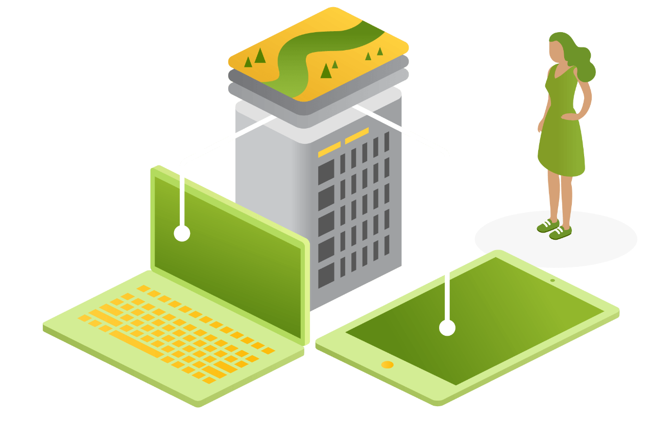

ArcGIS Enterprise
As the 2025 Esri Partner Award winner for ArcGIS Implementation, let Onneer help you take control of your enterprise GIS capability.
What is ArcGIS Enterprise?
ArcGIS Enterprise is the complete software system for all your geospatial needs—make maps, analyse geospatial data, and share results to solve problems. Its comprehensive capabilities allow organisations to manage, analyse, and share spatial data. It includes powerful tools for mapping, data management, and spatial analysis.
For more information, check out ArcGIS Enterprise.
Our ArcGIS Enterprise Services
We can help with the implementation, configuration, and maintenance through to the review and evolution of your ArcGIS Enterprise, ensuring that your organisation leverages its capabilities optimally.
Our services include:
- Administration, Maintenance, and Support
- System Migration
- GIS Training and Learning Services
- GIS Strategy
- Capability Review
- Application Configuration and Development

ArcGIS Monitor
Stay on top of your system. We can show you how to get the most out of your insights for a healthier, more stable system.
What is ArcGIS Monitor?
Collect data and information on the status, usage, availability, and resource utilisation in your Enterprise GIS. ArcGIS Monitor is designed to track and analyse the performance and usage of your ArcGIS Enterprise deployment. It provides insights into system health, usage patterns, and potential issues, helping you optimise your GIS operations.
For more information, check out ArcGIS Monitor.
How can we help?
Onneer can help you set up and configure ArcGIS Monitor, interpret its insights, and implement recommendations to improve system performance. This ensures your GIS environment is running smoothly and efficiently.
Our ArcGIS Monitor services:


ArcGIS Online
Harness the power of ArcGIS Online, and let the Onneer team quickly and efficiently get your team started on your GIS journey
What is ArcGIS Online?
ArcGIS Online is a secure and scalable software as a service (SaaS) for your geospatial workflows. It will improve decision making by collecting and managing data, analysing it, and easily sharing maps and apps within a connected and collaborative web geographic information system. ArcGIS Online is great for teams of any size, bringing the power of organisation-wide sharing and collaboration without the complex infrastructure.
For more information, check out ArcGIS Online.
How can we help?
Onneer can help with the setup and configuration of ArcGIS Online to meet your organisation's specific needs. We understand how to leverage ArcGIS Online as a standalone capability or in a hybrid setup with your ArcGIS Enterprise.
Our services include:

ArcGIS Field Maps

Sweet for ArcGIS
Make the most of integrated field collection tools directly in your ArcGIS environment
What is field mobility and collection?
Field applications and collection tools, such as ArcGIS Field Maps and Sweet for ArcGIS, enable organisations to collect and manage spatial data directly from the field. These tools streamline data collection, improve accuracy, and enhance field operations.
For more information, check out ArcGIS Field Maps and Sweet for ArcGIS.
How can we help?
Onneer can help you implement and configure your field applications to fit your organisation's specific workflows.
Our services include:
- Administration, Maintenance, and Support
- Staff Augmentation
- GIS Training and Learning Services
- Sweet for ArcGIS


ArcGIS Pro
Work with the world-leading desktop GIS
What is ArcGIS Pro?
ArcGIS Pro is a powerful desktop GIS application that allows users to maintain spatial data effectively, generate stunning 2D, 3D, and 4D visualisations, and conduct advanced mapping analytics. It offers advanced tools for data visualisation, spatial analysis, and geoprocessing, making it ideal for professionals who need robust capabilities and control over their GIS projects.
ArcGIS Pro is a critical piece of your GIS workflows, for any spatial professional looking to create and derive spatial insights.
For more information, check out ArcGIS Pro.
How can we help?
Onneer can setup and configure ArcGIS Pro to meet your specific needs. We understand how to leverage ArcGIS Pro's advanced features and capabilities. Whether you use it exclusively or in conjunction with ArcGIS Online and ArcGIS Enterprise, we ensure it integrates smoothly with your wider systems, giving you confidence that your investment is being managed effectively.
Our services include: